The geofencing function (virtual perimeter) allows you to generate alarms if the boat enters or leaves a certain area.
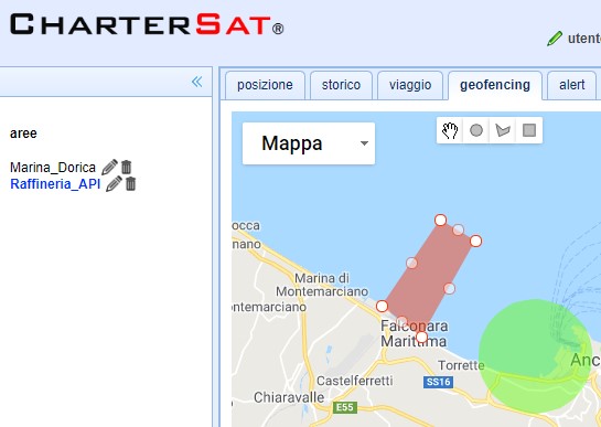
The areas are drawn with the mouse on the map through the tool of the circle, polygon, rectangle and can be of two types, port (green color) or forbidden area (red color).
Alarm notifications are sent by the server to the APP and email (if it has been inserted in your profile).
The logic of the alarms is as follows:
Port alarm:
ENRANCE: A notification is sent after 2 min.
EXIT: A notification is sent after 15 min.
Zone prohibited alarm:
ENRANCE: A notification is sent after 2 min.
EXIT: no notification
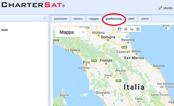
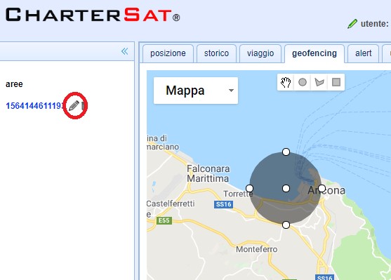
To create an area:
1) Select the geofencing tab
2) Select the drawing tools
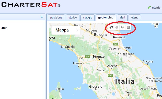
3) Select the icon of the instrument and draw the port area or no navigation
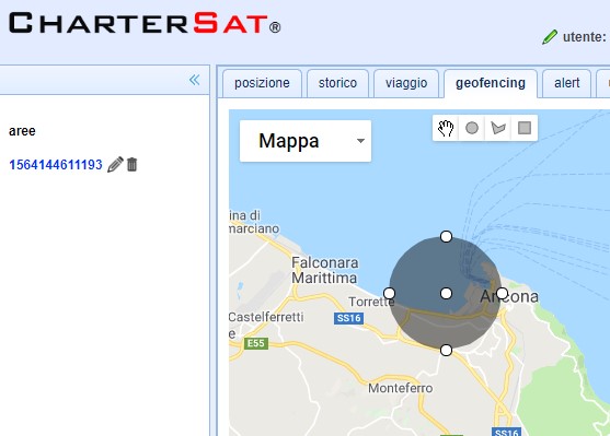
4) Click on the pencil icon to change the name and role of the area (port or forbidden area)
5) Write the name of the port or the forbidden area
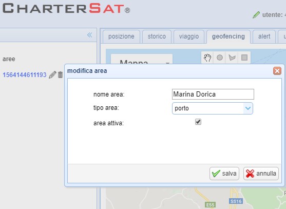
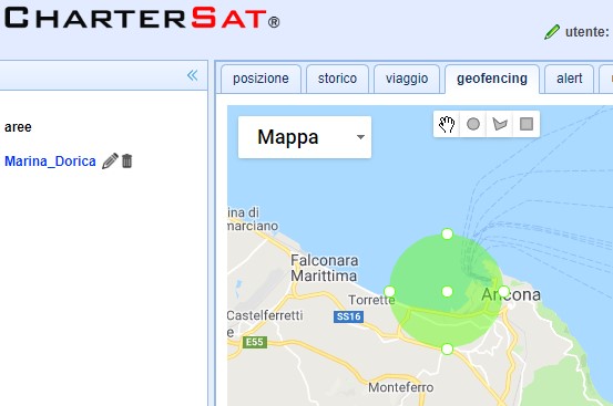
6) If the area is a port the color will be green
7) If the area is a forbidden area the color will be red